GeoStack
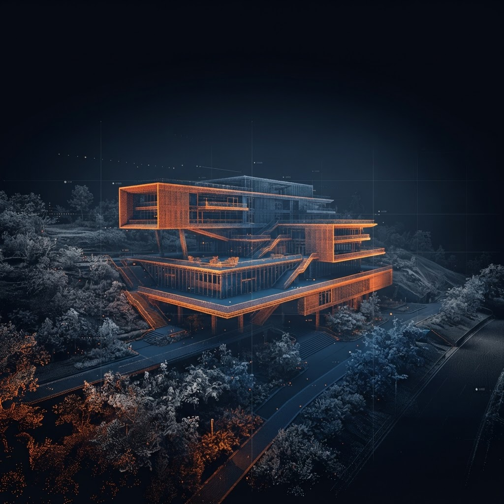
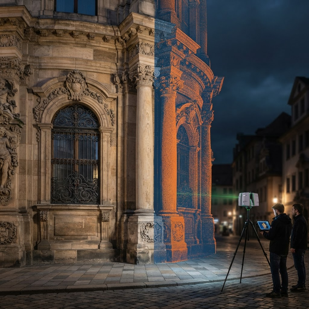
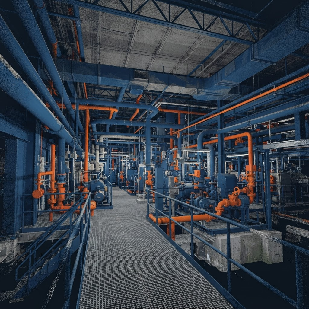
Point cloud generated by 3D LiDAR laser scanning of a building and its surrounding terrain

Topography, cadastre and 3D LiDAR scanning –
reality, layer by layer.

GeoStack is a spatial engineering firm based in Bucharest, Romania: cadastre and land registration, topographic surveys, 3D LiDAR scanning, Scan-to-BIM modeling and drone photogrammetry. We deliver measured, geodetically verified data for developers, architects, builders and property owners across Romania.

±3 mm
Scanning accuracy
5
Integrated services
LOD 200–350
BIM level of detail
ANCPI
Cadastral approval
The GeoStack value

Measurement errors cost thousands of euros. We eliminate them at the source.

We are not just a cadastral firm. We are the technology partner that guarantees every square meter captured on site matches the digital model you make decisions on, down to the millimeter. Combining cadastral rigor with 3D innovation can help reduce disputes and rework through precise, verifiable data.

Budget overruns

A few centimeters of error in a survey propagates into wrong material orders and rework on site. Accurate data eliminates costly redos.

Litigation risk

Merging laser scanning with cadastral documentation prepared by ANCPI-authorized professionals and received by OCPI reduces the risk of boundary disputes and registration delays.

A real "as-built" plan

You design on the real state of the site, not on twenty-year-old plans. The BIM model reflects exactly what exists on site, at LOD 200–350.

Services at a glance

We capture, model and coordinate your building data.

From existing site conditions to a coordinated digital model — integrated capabilities that give your team reliable data for design and construction.

01 / CAPTURE

Reality Capture

We document the existing conditions with precision, as the foundation for design and modeling.

  • Topographic surveys
  • 3D laser / LiDAR scanning
  • Point cloud generation
  • 360° HD photography
  • 3D tours & walkthroughs
02 / CAPTURE

BIM Modeling

Models that support design, documentation and construction planning.

  • As-Built 2D/3D surveys
  • LOD-specific models
  • Certified legal cadastre
  • Topographic reports
  • Technical documentation
03 / CAPTURE

Coordination & Delivery

Construction-ready documentation that supports fabrication and field work.

  • Clash detection
  • Digital twins
  • Orthophotos & DTM/DSM
  • Interoperable formats
  • Integration support
Service matrix

Five areas of expertise. One continuous flow from site to digital model.

Site→3D Capture→BIM Model
  1. 01 / 05ANCPI-authorized professional

    Site

    Surveying & Cadastre

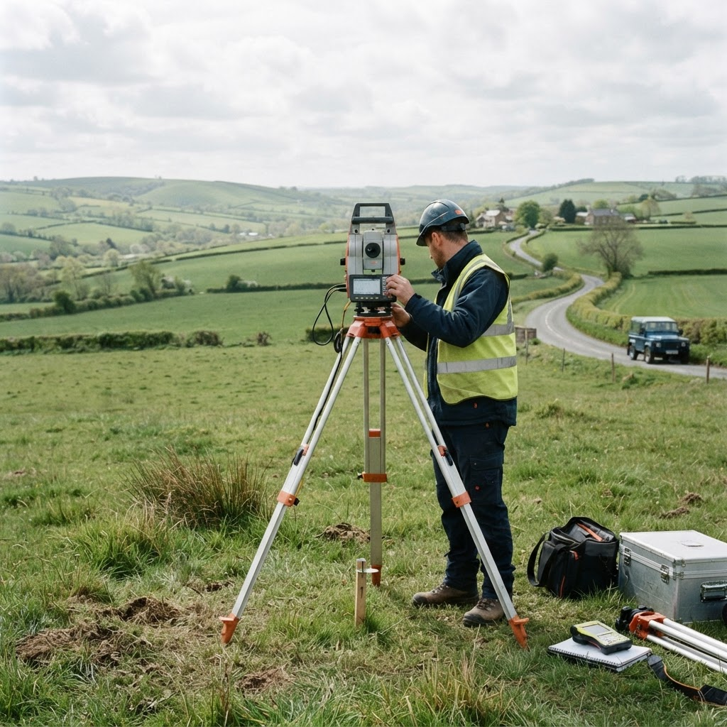
    We provide complete cadastral and land-registration services: building condominium subdivision plans; first registration in the integrated Cadastre and Land Book system; updates to cadastral documentation; topographic approvals for DTAC, DTAD, PUD, PUZ and PUG documentation; parcel subdivisions and mergers.

    DWGApproved PDFStereo 70 coordinatesCadastral documentationTopographic approvals
  2. 02 / 05Point Cloud · LOD 200–350

    3D Capture & BIM

    3D Laser Scanning / LiDAR & BIM Modeling

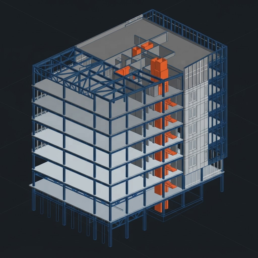
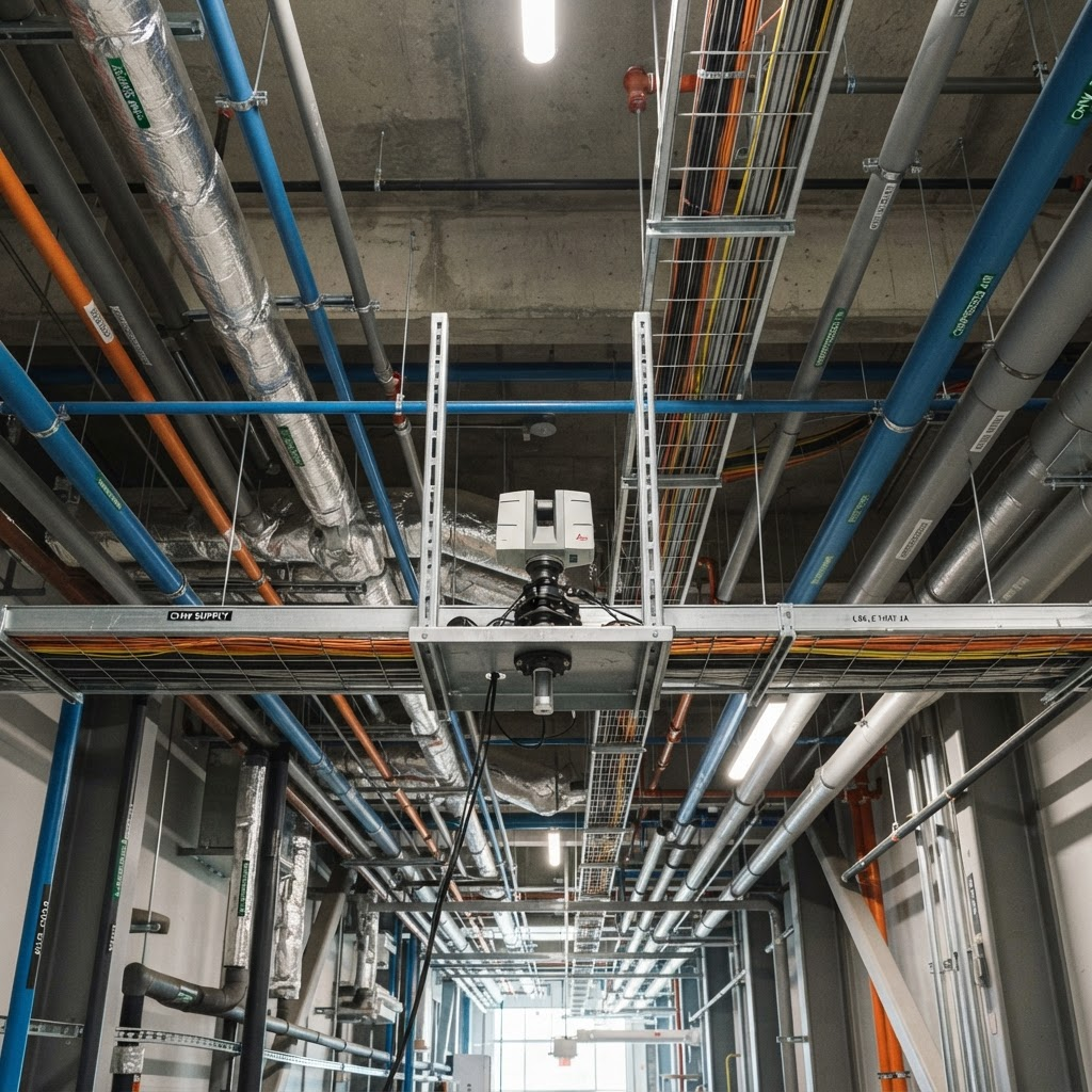
    We capture buildings and installations as high-density point clouds, then turn them into a coordinated and verified parametric BIM model. The result is a reliable digital foundation for as-built surveys and design based on the real state of the structure.

    E57LAS/LAZPTS/PTXRCP/RCSXYZPLYRVTIFCNWD
  3. 03 / 05Drone

    3D Capture

    Aerial photogrammetry

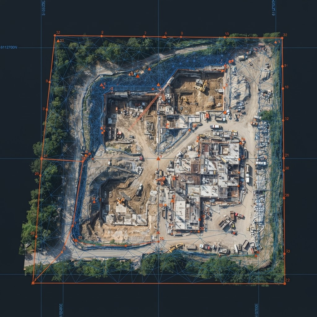
    Aerial drone mapping for large areas of terrain, orthophotos and digital terrain models (DTM/DSM).

    Orthophoto3D MeshDSM/DTM
  4. 04 / 05Construction

    Surveying support

    Setting out & surveying support

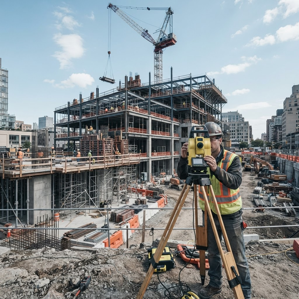
    We provide surveying support during project implementation: setting out axes and elevations, position checks and verification of completed works.

    Site setting outProperty boundary setting outElevation checksAs-built surveyControl reports
  5. 05 / 05High-Res

    Delivery

    360° virtual tours & digital twins

    Explore spaces online from any device, with no installation required. Document, present and share one 360° capture.

    360° TourDigital TwinWeb link
    Visit turo360.ro
  6. Deliverables

    Not sure which service fits you?

    Talk to a GeoStack engineer and get a capture plan tailored to your project.

    Book a consultation

Measurable impact

Accurate data translates directly into savings.

3D capture and BIM coordination reduce rework, clarification requests and the risk of construction delays.

As-Built

Verified data

for safer decisions

±3 mm

Scanning accuracy

geodetically verified

1–2 days

On-site capture

for a mid-size building

12 h

Quote turnaround

on business days

Reality Capture

“What is Reality Capture and why do you need an As-Built model?”

Reality Capture is the process of digitizing physical space through a combination of 3D laser scanning (LiDAR) and photogrammetry, generating a point cloud with millimeter accuracy. An As-Built model reflects exactly the real state of an existing structure, removing the uncertainty of old plans and enabling design, maintenance and quality control on verified data.

  • Full site capture in a single field session
  • Millimeter-level margin of error (±3 mm)
  • Interoperable deliverables: E57, PTS, RVT, IFC, DWG
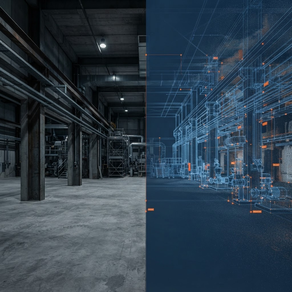
Industrial interior overlaid with BIM model and scan data, illustrating the transition from reality to digital twin

Scan-to-BIM · LOD 350

Point cloud

Every point is a real measurement.

Laser scanning records millions of points per second. From that point cloud we reconstruct the exact geometry of the building and the terrain — the foundation of every BIM model and every as-built plan.

2M+
points / second
±3 mm
geodetic accuracy
360°
full coverage

Real-time simulation · GeoStack point cloud

From the GeoStack lab

Practical guides for better spatial decisions.

We explain how 3D data, BIM models and virtual tours support project teams across construction, heritage and asset management.

8 min read3D scanning & BIM

3D LiDAR scanning and Scan-to-BIM: when to start from built reality

Learn what a point cloud is, how As-Built survey accuracy is checked and how field data becomes a useful BIM model for architects, contractors and owners.

6 min readVirtual tours

360 virtual tours for buildings: more than an online presentation

From marketing a space to documenting heritage and checking construction progress, a 360 tour gives teams fast access to the real context of a building from anywhere.

7 min readHeritage & restoration

Heritage conservation through 3D scanning: why digital documentation matters

Discover how 3D laser scanning and point clouds create a measurable archive of historic buildings, supporting restoration, condition monitoring and the preservation of heritage for future generations.

Why GeoStack

Verifiable precision. Documentation you can rely on.

Millimeter accuracy

A ±3 mm margin of error on scanning, verified through geodetic control points.

State-of-the-art equipment

Terrestrial laser scanners and RTK drones, processed on professional software pipelines.

ANCPI legal approval

Cadastral documentation prepared by authorized professionals, officially registered.

Frequently asked questions

Clear answers to the technical questions.

Can't find the answer you're looking for? Write to us directly and an engineer will reply.

What is 3D laser scanning (LiDAR) and when should I use it?
3D laser scanning captures a space or installation as a point cloud with millimeter accuracy. You use it when you need an exact As-Built survey of an existing structure — for renovation, extension, industrial maintenance or quality control.
What is the difference between a point cloud and a Scan-to-BIM model?
The point cloud (E57, PTS) is the raw capture of reality. The Scan-to-BIM model turns those points into an intelligent parametric model (RVT, IFC), with walls, floors and installations defined as objects, at a level of detail of LOD 200–350.
What deliverables do I get at the end of the project?
Depending on the service, you get: cadastral plans prepared by ANCPI-authorized professionals and received by OCPI (DWG/PDF), point cloud (E57/PTS/RCP), BIM model (RVT/IFC/NWD), orthophotos and terrain models (DSM/DTM), as well as 360° virtual tours with a web link.
Do you offer cadastre and land registration for individuals and companies?
Yes. We work with property owners as well as real estate developers, builders and public administrations. We provide cadastral and land-registration documentation through ANCPI-authorized professionals, with OCPI reception, across Bucharest and Romania, either standalone or integrated with surveying and 3D capture.
How long does a scanning and modeling project take?
Field capture for a medium-sized building usually takes 1–2 days. Processing and Scan-to-BIM modeling depend on the area and the required LOD, but we generally deliver within 1–3 weeks of completing the scan.
Contact

Request a technical quote.

Describe your project and get a tailored capture plan and estimate. We reply within 12 business hours.

Area
Bucharest & all of Romania
Message us on WhatsApp